
Study site
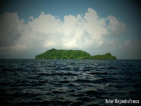
Field observations took place on Agaltepec island (18°24'51.5"N 95°05'33.4"W), located in the Catemaco lake (Near Catemaco, Estado de Veracruz, Mexico) at an elevation of 360–390 m above sea level. The island is approximately 815 m long and 190 m wide at its widest point, resulting in a total extension of about 8.3ha.
The area is characterized by tropical monsoon climate (category “Am” in the Köppen climate classification), with two main seasons: dry (February-May) and humid (June-January), an average annual temperature of 20.8ºC and an average annual precipitation of 1980 mm. The main type of vegetation of the island is the semi-evergreen seasonal forest dominated by Ficus cotinifolia, Mastichodendron capiri, Ceiba aesculifolia, and Cecropia obtusifolia, although there are also some areas of tropical and subtropical secondary vegetation (López-Galindo & Acosta- Pérez 1998).
Agaltepec island is today a protected biological reserve managed by the Universidad Veracruzana.
Responsible for this page:
Director of undergraduate studies Biology
Last updated:
05/12/15